 DESCRIPTION OF THE SYSTEM
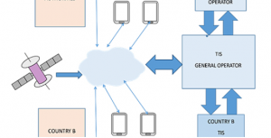
Timber Inventory System supports fight against illegal logging. All TIS users have to be authorized. The database will be developed on the basis of agreements between all interested parties. Each activity in TIS will be registered and can be controlled by the competent supervisory authorities.
Three main elements:
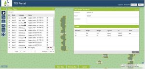
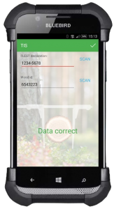
Cloud database Web application Mobile application
„Silent” verification
-
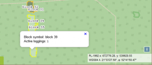
All actions done through mobile application are marked with GPS coordinates
-
Localization precision is low, but sufficient as audit data
Additional input devices
-
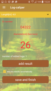
Mobile application can use digital calliper and laser barcode tag
-
Specified data fields can be locked by administrator to be filled only from input device (manual data entry forbidden)
-
Build-in digital camera can be used as cheap barcode/QR-code reader
Volume verification
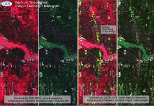
– Logged volume verification is done outside system, based on satellite images
– Verification can be done after logging ended, based on best images acquired prior to start date and after end date.
Planned features
– Log dividing with tags assignment
– Log processing with volume-based validation
– On-line transport tracking (if data available)
– Free access info/validation portal
– Possibility to attach additional files (scans, images, photos etc.) as additional proof for each step of proces.
SOFTWARE
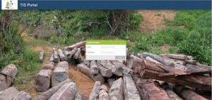
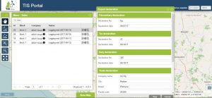
All software is designed according to national and international forestry law regulations. Internet web portal to manage tasks and provide forestry management. Special access for international law enforcement agencies, certification organizations.
MOBILE TECHNOLOGY
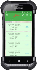
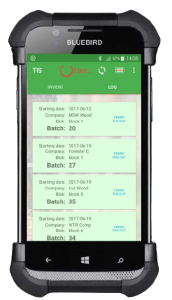
– All results of work are registered and can be checked on users smartphones for example to check legality of shipment.
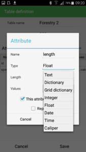
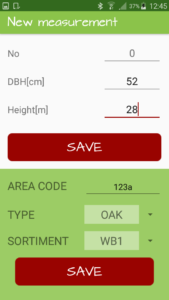
– Available different applications depending on the requirements, can be installed on the smartphone with Android OS.
– Applications can be connected via Bluetooth with simple electronic calipers, possibility to send result of work directly from logging area.

SATELLITE TECHNOLOGY
The use of various EO data: radar and optical data i.e. Sentinel-1, Sentinel-2, high and VH resolution images
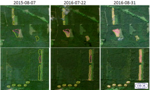
– Location of the clear cuts
– Approximate date of clear cuts
– Clear cut extent
– Tracing the history of the forest
– Assessment of the GSV/biomass
Integration of the EO based products into the system.
Detection and assessment of the forest disturbance (windstorm, fires, illegal logging)
Forest affected by windstorm End of June 2016 Based on Sentinel-2 da
Estimation of the forest aboveground biomass.
Synergy of radar data (ALOS1, ALOS2, Sentinel-1) and optical data (Landsat, Sentinel-2)

EQUIPMENT – Marking tags and tools
-
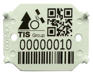
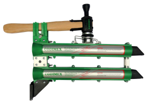
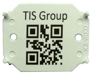
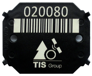
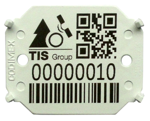
Marking tags „introduce” logs to the system. Barcodes and QR-codes on tags provide easy connection between marked wood and data in the system.
-
Tools for double marking (logs and trunks) are used.
-
Marking tags provides the same marking standard. The unique construction prevents to illegal reuse of tags.
EQUIPMENT – Calipers
-
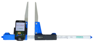
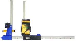
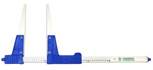
Electronic caliper CODIMEX E-1 is a simple and low-priced measuring device which works together with a user smartphone.
-
Measurement results are stored in smartphone and can be easily sent to computer.
-
Manual calipers and dedicated application on the smartphone can be also used.
EQUIPMENT – Smartphones and applications
Every smartphone with Android OS can be used.
